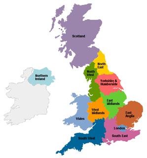
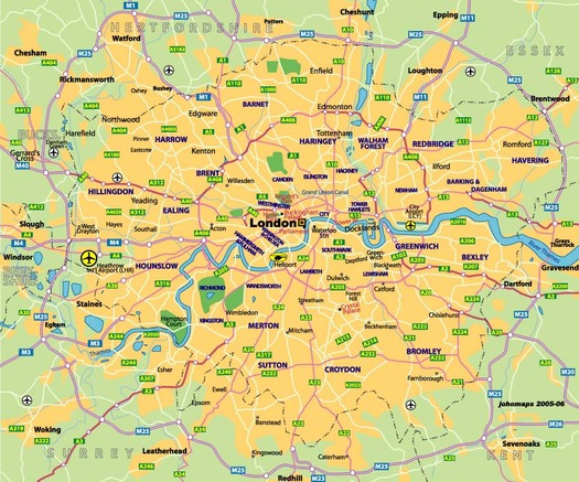
Regional Map:
Country Map:
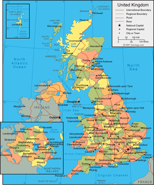
Capital City:
Total Area: 243, 610 sq km
Land Area: 241, 930 sq km
Water Area: 1,680 sq km
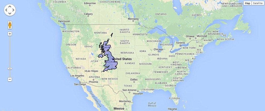
Size compared to the U.S. territory:
Countries that border the United Kingdom: Ireland, France, Belgium, and the Netherlands
Bodies of water boarded: Celtic Sea, English Channel, North Sea, and North Atlantic Ocean
Total distance of all land boundaries: 443 km
Total distance of coastline: 12, 429 km
Climate: Most of the days are overcast, buffered by the dominating southwest wind which run over the North Atlantic Current
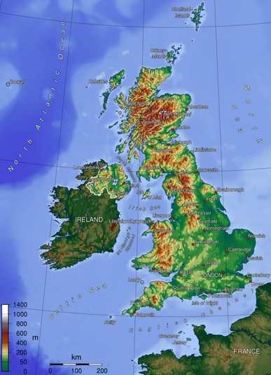
Terrain: To the east and southwest it levels to rolling plains with mostly low mountains and rugged hills
Point of lowest elevation: The Fens - 4 m
Point of highest elevation: Ben Nevis - 1,343 m
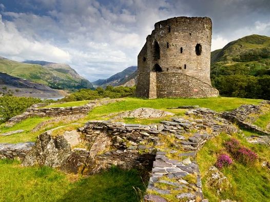
Physical Geography: