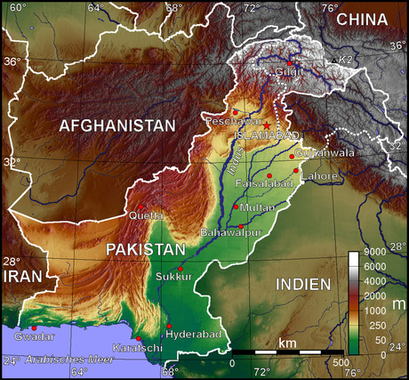
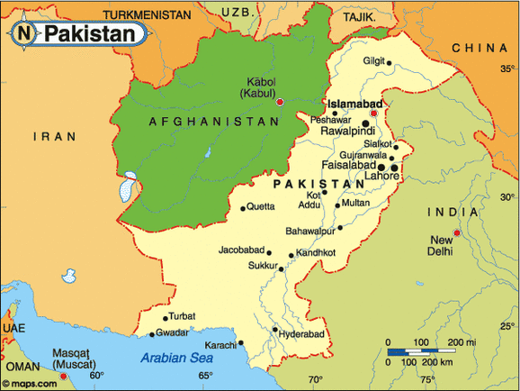
Regional Map:
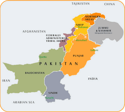
Country Map:
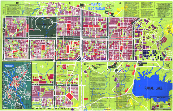
Capital Map:
Total Area: 796, 095 sq km
Land Area: 770, 875 sq km
Water Area: 25, 220 sq km
Size comparative to the U.S. territory:
Countries that share a border with Pakistan: Afghanistan, China, India, and Iran
Total distance of all land boundaries: 7, 257 km
Total distance of coastline: 1, 046 km
Description of climate: Varies in different areas; Arctic in the north, mostly hot with a dry desert, and mild in the northwest
Description of Terrain: In the north and northwest there are mountains and then it is a flat plain in the east. The Balochistan plateau is in the west
Point of lowest elevation: Indian Ocean - 0 m
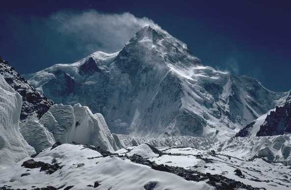
Point of highest elevation: K2 - 8, 611 m
Physical Geography: