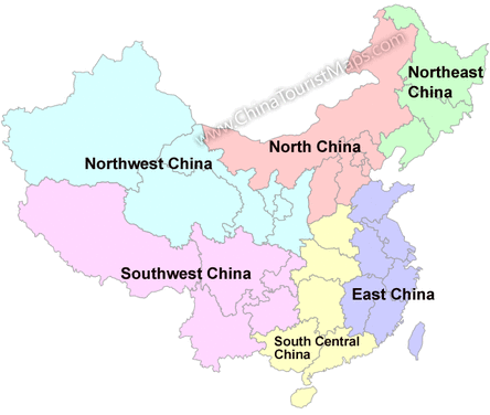
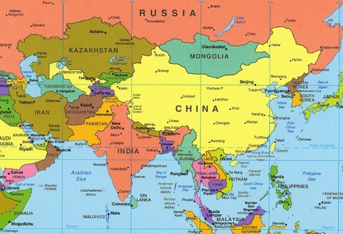
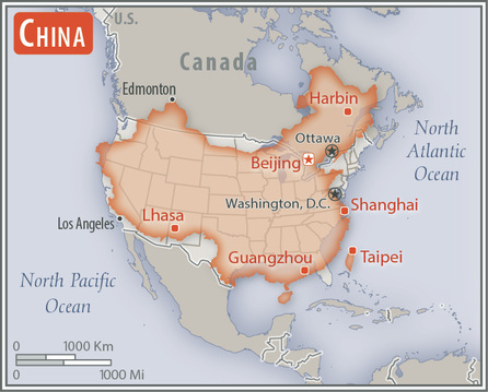
Regional Map:
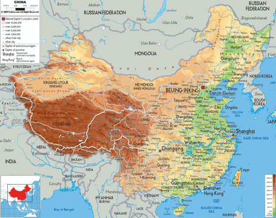
Country Map:
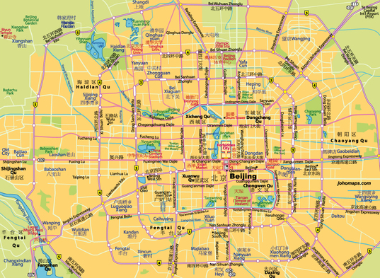
Capital City:
Total Area: 9, 596, 960 sq km
Land Area: 9, 326, 410 sq km
Water Area: 270, 550 sq km
Same comparative to U.S. territory:
Countries that border China: North Korea, Russia, Mongolia, Kazakhstan, Kyrgyzstan, Tajikistan, India, Nepal, Bhutan, Myanmar, Laos, Vietnam
Bodies of water that border China: East China Sea, South China Sea, North Pacific Ocean
Total distance of all land boundaries: 22, 457 km
Total distance of coastline: 14,500 km
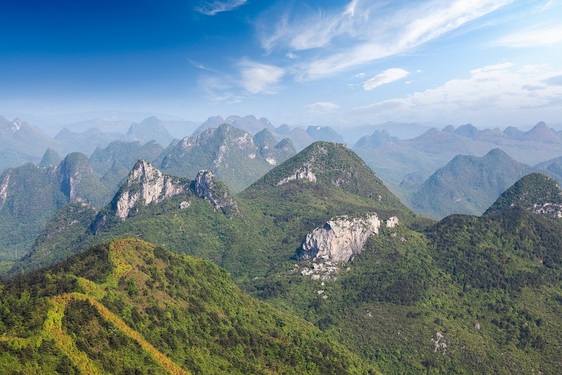
Climate: It is very different. In the north, it is subarctic and in the south it is tropical
Terrain: They are plains , deltas, and hills in the east. In the west it is mostly mountains, deserts and high plateaus in the west
Point of lowest elevation: Turpan Pendi - 154 km
Point of highest elevation: Mount Everest - 8, 850 m
Physical Geography: