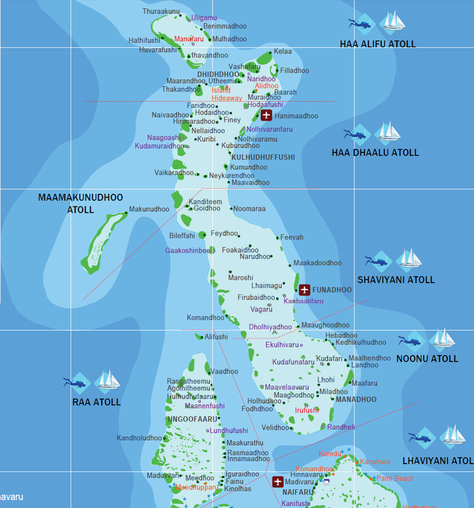
Regional Map:
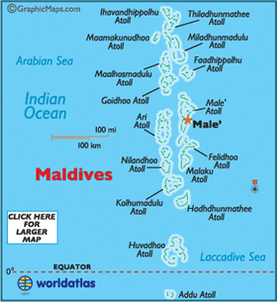
Country Map:
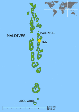
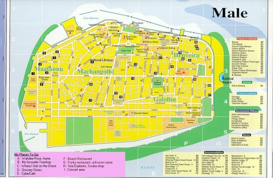
Capital City:
Total Area: 298 sq km
Land Area: 298 sq km
Water Area: 0 sq km
Size comparative to the U.S territory: About 1.7 times the size of Washington D.C.
Bodies of water bordering the Maldives: Arabian Sea, Laccadive Sea, Indian Ocean
Total distance of all land boundaries: 0 km
Total distance of coastline: 644 km
Climate: It is tropical, but during the northeast monsoon (November to March) it is hot and humid. When it's the southeast monsoon (June to August) it is rainy
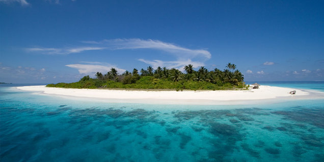
Terrain: The surface is flat with white sandy beaches
Point of lowest elevation: Indian Ocean - 0 km
Point of highest elevation: Unknown location on the Viligili in the Addu Atholhu - 2.4 m
Physical Geography: